Past Pages
Antique Maps, Prints and Ephemera
Antique Maps of Europe
Includes Roman Empire and historical invasions.
| |
Continental Europe
|
 |
Europe Zacharie Chatelain pre-1755 taken from JB Bossuet 'Discours sur L'Histoire Universelle' 1755 size: 180 x 140 mm, 2 folds Ref HJM018 £45.00 (+P&P) click image for enlargement |
 |
Europe Walker c1798
size 240 x 190 mm, 2 folds, faint diaginal crease Ref IIM004 £22.00 (+P&P) click image for enlargement
|
 |
Geographical and
Statistical Map of Europe Map engraved by J. Walker. Set with statistical data. From Lavoisne's Genealogical, Historical, Chronological and Geographical Atlas 1827 - Title Page For Statistics Tables and Charts from this atlas see Charts and Tables Page Copper engraving page size: 530 x 420 mm, centre fold. Ref LHM027 £30.00 (+P&P) Detail click image for enlargement |
 |
Geographical and
Historical Map of the Incursions f the Barbarians Map engraved by J. Walker. Set with statistical data. From Lavoisne's Genealogical, Historical, Chronological and Geographical Atlas 1827 - Title Page For Statistics Tables and Charts from this atlas see Charts and Tables Page Copper engraving page size: 530 x 420 mm, centre fold. Ref LHM024 £30.00 (+P&P) Detail click image for enlargement |
 |
Geographical and
Historical Map of the Roman Empire Map engraved by J. Walker. Set with statistical data. From Lavoisne's Genealogical, Historical, Chronological and Geographical Atlas 1827 - Title Page For Statistics Tables and Charts from this atlas see Charts and Tables Page Copper engraving page size: 530 x 420 mm, centre fold. Ref LHM020 £30.00 (+P&P) Detail click image for enlargement |
 |
Europe Beaupre / Hocquart
c1800 size
400 x 300 mm Ref FDM055 £25.00 (+P&P) Rough margins, otherwise, very good. click image for enlargement
|

|
Europe
Russell / Goldsmith / Phillips 1803 Copper engraving size: 200 x 170 mm, several folds, tight top and bottom margins Ref NHM004 £20.00 (+P&P) click image for enlargement |

|
Europe Thomas
Starling 1843 size: 150 x 95mm Ref GBM286 £22.00 (+P&P) click image for enlargement |
 |
Europe Thiers
1859
size 330 x 230 mm Ref FFM030 % £24.00 (+P&P) click image for enlargement |
 |
Europe V. Levasseur c1835 size: 170 x 130 mm Ref HAM062 % £18.00 (+P&P) click image for enlargement |
 |
Europe - Places of Forts
V. Levasseur c1835 size: 200 x 130 mm Ref HAM119 £18.00 (+P&P) click image for enlargement |

|
Europe Sidney Hall
1842
size 400 x 270 mm Ref EKM071 % £24.00 (+P&P) click image for enlargement |
 |
Europe Mackenzie
1868 Ref FBM014 % £10.00 (+P&P) size: 260 x 340 mm Strengthened centrefold. Discolouration on centrefold (not as severe as illustrated!) click image for enlargement |
 |
Europe Perrot c1830
Engraved by P. Tardieu size: 200 x 160 mm Ref FEM014 % £18.00 (+P&P) click image for enlargement |
 |
Roman Empire Findlay / Arrowsmith
1818
size: 410x 260 mm Centre Fold Ref FIM113 % £16.00 (+P&P) click image for enlargement |
 |
Europe
Barlow / Brightly 1806 Original colour size: 220 x 200 mm Slightly soiled surface condition Ref FIM048 £18.00 (+P&P) click image for enlargement |
 |
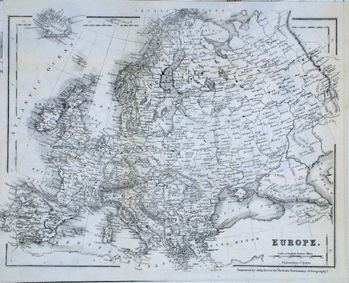
Europe
Chambers
1855
size: 300x 240 mm Ref FDM124 % £16.00 (+P&P) click image for enlargement |
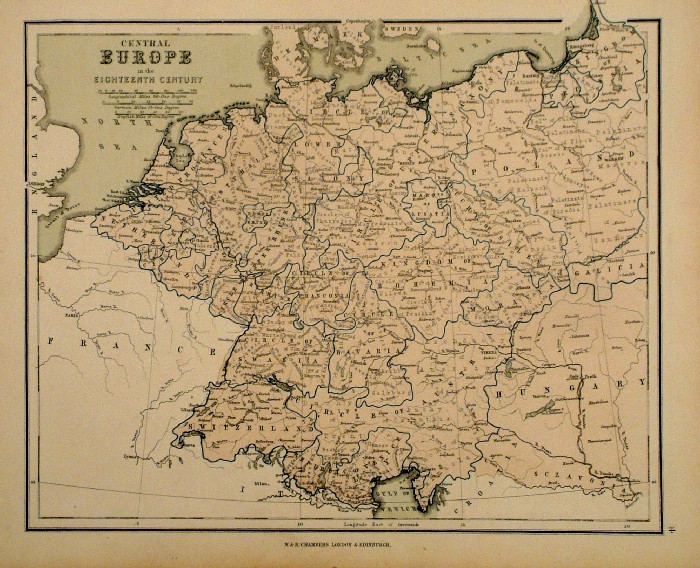 |
Central Europe in the 18th Century
Chambers
1855
size: 300x 240 mm Ref FDM125 % £16.00 (+P&P) click image for enlargement |
 |
Europe Sidney
Hall 1860 Ref HKM004 % £16.00 (+P&P) size: 190 x 160 mm click image for enlargement |
 |
Europe
Thomas Kelly
1843 engraved by Alex Findlay size: 200x 260 mm Ref OHM014 £16.00 (+P&P) click image for enlargement |
 |
Ancient Europe
Samuel Arrowsmith 1836 Ref FHM135 % £16.00 (+P&P) size: 240 x 210 mm click image for enlargement |
 |
Europe John Dower
/ Beeton c1868 size: 240 x 190 mm several folds Ref GAM046 % £12.00 (+P&P) click image for enlargement |
 |
Europe Francis
Young / Beeton c1880 size: 250 x 210 mm several folds, tight top & left margins Ref GAM039 % £12.00 (+P&P) click image for enlargement |
 |
The Telegraphs of Europe
Francis Young / Beeton c1880 Revised by the Electrical and International Telegraph Company size: 240 x 190 mm several folds, tight margins Ref GAM040 £22.00 (+P&P) click image for enlargement |
 |
The Alps Swanston
/ Fullarton c1861
size: 250x 150 mm Ref GBM268 % £16.00 (+P&P) click image for enlargement |
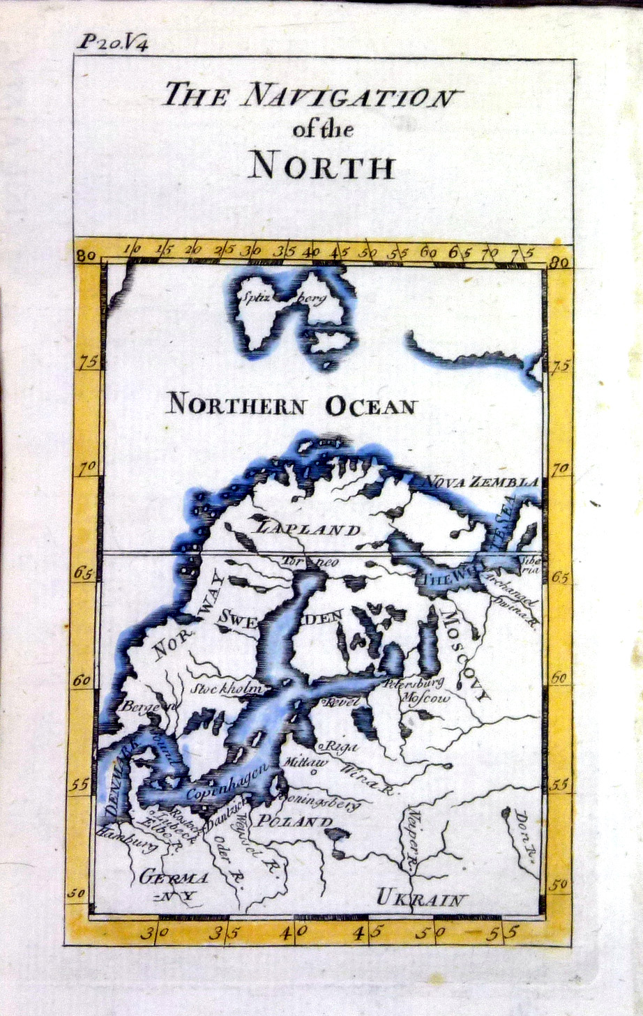 |
The Navigation of the
North Pluche 1740 Copper engraving size 95 x 150 mm Ref NLM006 £20.00 (+P&P) click image for enlargement |
 |
Ancient Western Europe
c1683 size 120 x 170 mm Grande Prefecture des Gaules Ref GHM018 £30.00 (+P&P) click image for enlargement |
 |
Mediterranean Sea Mallet 1719 ( German edition ) Engraved in reverse. Thought to be an early error of the German edition with the plates being engraved with a reverse image. Plates were subsequently engraved with correct aspect of the maps. size: 120 x 170 mm Ref GHM009 £30.00 (+P&P) click image for enlargement |
 |
Mediterranean Sea Mallet 1719 ( German edition ) Engraved in reverse. Thought to be an early error of the German edition with the plates being engraved with a reverse image. Plates were subsequently engraved with correct aspect of the maps. size: 120 x 170 mm Ref GHM005 £30.00 (+P&P) click image for enlargement |
 |
Europa in
physikalischer Beziehung Physical Relationship Winkelmann / Krais & Hoffman for Humboldt's Kosmos 1861 inset of prominent mountains size: 320 x 250 mm Ref LDM010 £18.00 (+P&P) click image for enlargement |
 |
Europa in
geologischer Beziehung Geological Relationship Winkelmann / Krais & Hoffman for Humboldt's Kosmos 1861 inset of prominent mountains size: 320 x 250 mm Ref LDM022 £18.00 (+P&P) click image for enlargement |
 |
Das Romische
Weltreich The Roman Empire Winkelmann / Krais & Hoffman for Humboldt's Kosmos 1861 size: 320 x 250 mm Ref LDM037 £18.00 (+P&P) click image for enlargement |
 |
Die Italische und
Criechische Halbinsel Peninsulars of Italy and Greece Winkelmann / Krais & Hoffman for Humboldt's Kosmos 1861 inset of prominent mountains size: 320 x 250 mm Ref LDM026 £18.00 (+P&P) click image for enlargement |
 |
Ancient Europe V. Levasseur
c1835 size: 130 x 100 mm Ref HAM043 % £16.00 (+P&P) click image for enlargement |
 |
Roman Empire in Europe V. Levasseur
c1835 size: 130 x 100 mm Ref HAM047 % £16.00 (+P&P) click image for enlargement |
 |
Europe - 5th Century V. Levasseur
c1835 size: 130 x 100 mm Ref HAM050 % £16.00 (+P&P) click image for enlargement |
 |
Europe - 9th Century V. Levasseur
c1835 size: 130 x 100 mm Ref HAM052 % £16.00 (+P&P) click image for enlargement |
 |
Europe - 1074 V. Levasseur
c1835 size: 130 x 100 mm Ref HAM053 % £16.00 (+P&P) click image for enlargement |
 |
Europe - 1300 V. Levasseur
c1835 size: 130 x 100 mm Ref HAM055 % £16.00 (+P&P) click image for enlargement |
 |
Europe - 1453 V. Levasseur
c1835 size: 130 x 100 mm Ref HAM056 % £16.00 (+P&P) click image for enlargement |
 |
Europe - 1556 V. Levasseur
c1835 size: 130 x 100 mm Ref HAM057 % £16.00 (+P&P) click image for enlargement |
 |
Europe - 1789 V. Levasseur
c1835 size: 130 x 100 mm Ref HAM058 % £16.00 (+P&P) click image for enlargement |
 |
Europa Steiler /
Perthes 1895 size: 300 x 240 mm, centre fold. Ref HHM068 £16.00 (+P&P) click image for enlargement |
 |
Europa Steiler /
Perthes 1895 size: 300 x 240 mm, centre fold. Ref HHM069 £16.00 (+P&P) click image for enlargement |
 |
Europe
Vuillemin 1851 size: 270 x 210 mm a few faint foxing spots Ref JDM070 % £10.00 (+P&P) click image for enlargement |
 |
Europe en 814
Vuillemin 1851 size: 270 x 210 mm a few faint foxing spots Ref JDM051 % £10.00 (+P&P) click image for enlargement |
 |
Europe apres l'invasion des Barbares
Vuillemin 1851 size: 270 x 210 mm a few faint foxing spots Ref JDM052 % £10.00 (+P&P) click image for enlargement |
| All Genuine Antiquarian Maps - No Reproductions or Modern Copies |
2023
